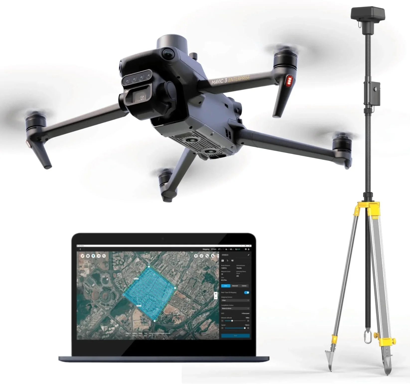
DRONE MAPPING AND SURVEYING SERVICES
Aerial mapping with drones saves time and money. With advanced payload options, drones are producing high-accuracy solutions in less time and combines easily with traditional survey methods to ensure reliable geospatial data where you need it. With decades of experience in terrestrial surveying and data collection, we have elevated our abilities to provide high quality data across most environments. From solar farm builds to urban planning, residential subdivisions to commercial build sites, utility corridors to waterways, railways and disaster assessment, Versadrone Aerial Solutions can help.
2D Photogrammetric Orthos
3D Models, Point Clouds, Contour Mapping
LiDAR Mapping
Our team works with licensed surveyors and engineers, land developers, miners, foresters, utility owners, stakeholders and more to provide high accuracy mapping deliverables at a budget friendly price.