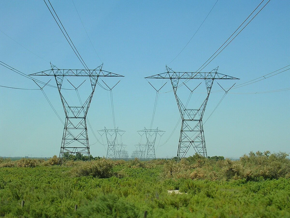
TRANSMISSION AND DISTRIBUTION UTILITY LINE INSPECTION AND MAPPING
Utility assets cover miles and miles of our nations landscape, along roads, wooded right of ways, and cross fields, mountains and valleys. Maintenance on these lines and structures is a constant task. Drones are quickly becoming a vital tool for inspection and mapping services to help avoid outages and minimize risk of hazards, manage assets and identify failures as well as areas of encroaching vegetation.
Our utility inspections are performed by licensed FAA Part 107 drone operators and follow the ANSI/NETA MTS-2023 standard specifications for electrical power equipment and systems.
VISUAL AND THERMAL INSPECTION
Visual RGB and Thermal inspections can detect connection failures, overheated transformers, missing/broken or corroded hardware, impact from vegetation, birds nests or downed limbs, identify decaying poles, loose hanging lines and assess damage from recent storms.
MAPPING AND SURVEYING
Our team works with licensed surveyors to provide accurate drone mapping deliverables needed for all phases of the project from initial land clearing to final construction.
LIDAR MAPPING AND VEGETATION management
Used in new utility planning or currently installed utility line corridors, LiDAR mapping is an incredibly valuable service. Topographic information can be collected for new line path planning or to locate and asses current infrastructure. LiDAR has the ability to measure vegetation encroachment to determine what areas need clearing now or in the near future. It can penetrate the tree canopy and capture ground information in dense forested areas making it an exceptional mapping tool. It can also provide georeferenced information to determine line sag, distance between poles/structures, and more.